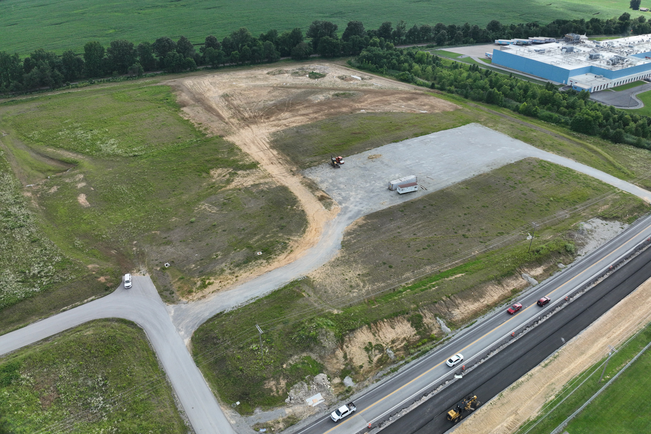
Precision Meets Technology. Accurate data is the foundation of every successful project. At RJA Engineering, our surveying team combines advanced technology with technical expertise to deliver the precision today’s projects demand. Equipped with state-of-the-art GPS surveying instruments and drone technology, we capture reliable, high-accuracy data that meets modern surveying standards. By leveraging innovative tools and proven methods, we provide the confidence and precision our clients need to move their projects forward.